By Phillip Pierce
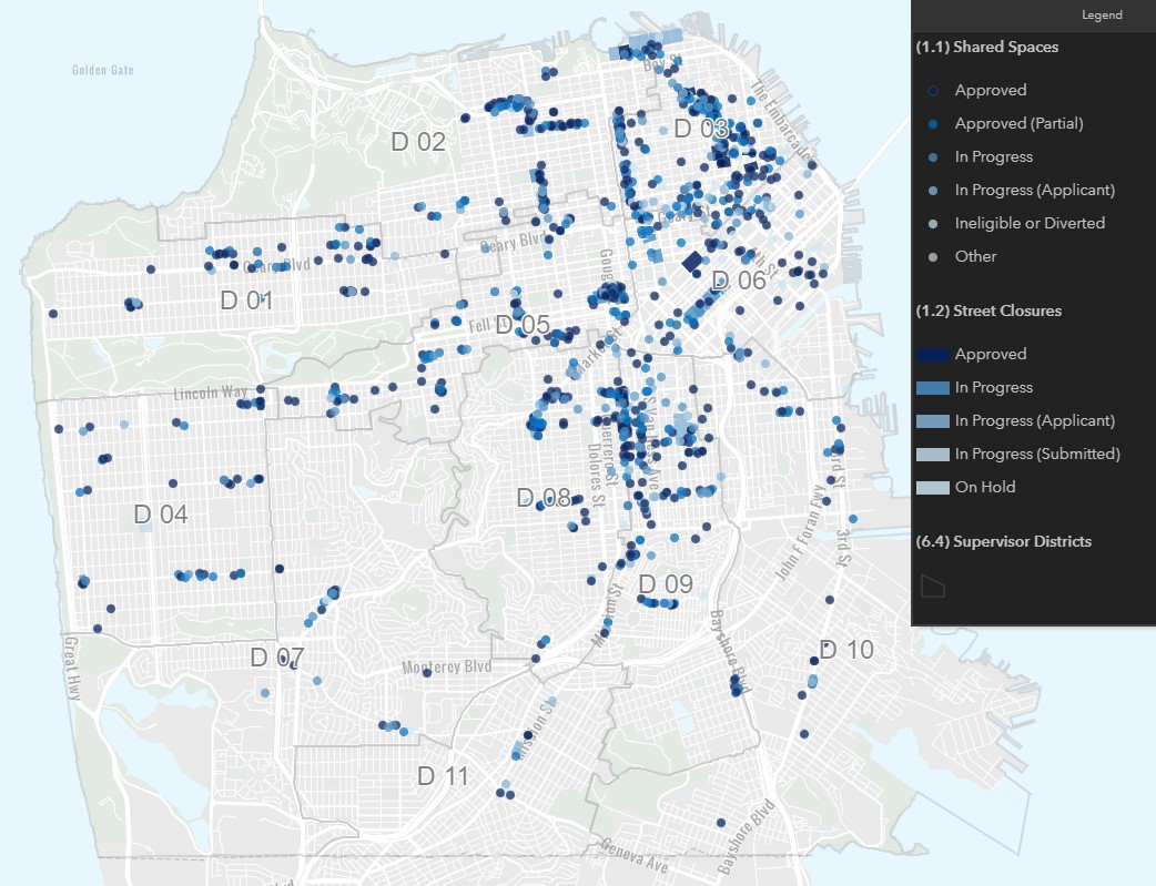
San Francisco’s popular Shared Spaces program, in which the SFMTA is a participating agency, now has an exciting new tool: an interactive map showing the locations and status of all the proposed Shared Spaces locations. The map is designed to make it easier for people to find Shared Spaces, check on permit status or simply track the progress of the program.
Static image of the new “interactive” map showing Shared Spaces locations and stages in the approval process. Click through for a live view and explore in more detail.“We are so excited to see the new Shared Spaces Tracker that lets restaurants, businesses and residents see where the sidewalk and parking lane permit applications are located and details the status of each application,” said Laurie Thomas, Executive Director of the Golden Gate Restaurant Association. “The willingness to share this information publicly is a testament to how well the City has been working with businesses during this unprecedented time.”
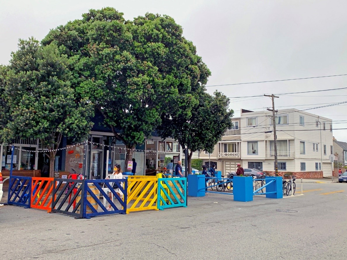
Shared Spaces allows merchants to use sidewalks, full or partial streets, and other nearby public spaces like parks, parking lots and plazas for restaurant pick-up and other neighborhood retail activities allowed under San Francisco’s Public Health Orders. The new program is a multiagency collaboration born out of the city’s Economic Recovery Task Force.
There have been more than a thousand applications for Shared Spaces for uses like outdoor dining in parking spaces or allowing multiple retailers to operate in the open air by repurposing a parking lot. There are important guidelines for the program to ensure accessibility and safety.
This Shared Space Dashboard is updated daily. Click through for a live view and explore in more detail.“The Shared Spaces program is vital to helping businesses like ours survive right now,” said China Live restaurant owners George Chan and Cindy Wong-Chen. “We are grateful for the responsiveness of the city to make this happen in such a short amount of time.”
Businesses are also applying for temporary full street closures for certain days and hours of the week. The first two successes were Grant Avenue in Chinatown and Valencia Street in the Mission. More recent approvals include Irving Street between 19th and 20th Avenues and Gold Alley in North Beach. Starting later this month, SoMa will have a recurring Shared Space every Sunday on Folsom from 6th to 8th streets. More closures are in the works for the Bayview, Tenderloin, Castro, Excelsior, Marina, Sunset, Richmond and other parts of the city.
Not every location is a good fit for every type of Shared Space, but the Shared Spaces teams work hard with businesses to find solutions. So far, fewer than 3% of applications were initially ineligible under program guidelines, but most of these were reworked into successful projects.

Next Steps: Keep Evolving and More Outreach
The Shared Spaces program will continue to evolve with new health orders and as other types of business reopen. By looking at the data, we also know that there are more Shared Spaces in some neighborhoods than others. While some of that disparity is related to density and location of restaurants, we also know that not everyone has the resources to take advantage of these programs during this challenging time. In the weeks ahead, we are dedicating more resources to targeted outreach in areas that are not already benefiting from the program.
For more information on the program or to apply, give feedback, report a problem or view the live tracker, visit sf.gov/SharedSpaces. Questions or media inquiries? Please email SharedSpaces@sfgov.org
Published August 20, 2020 at 06:48AM
https://ift.tt/2YjPPv4

Comments
Post a Comment